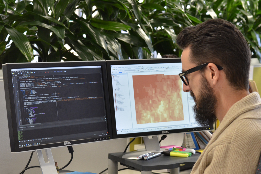
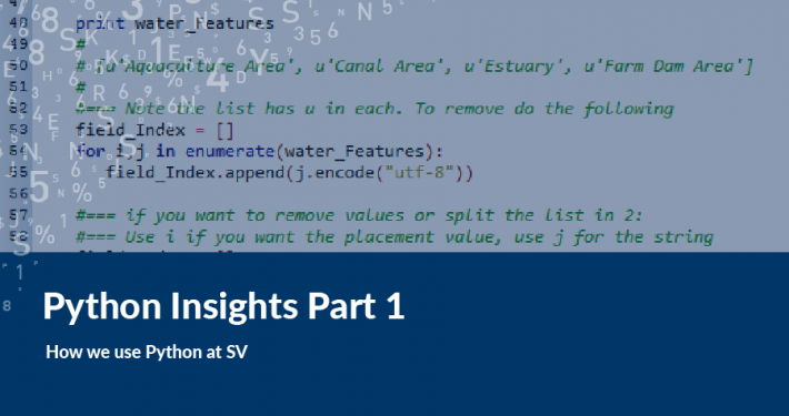
Automation also allows for the repeated use and easy handling of big and complex datasets. Typically, big data is computationally intensive to process and using these datasets can take time. Python allows for ease of use of these large and complex datasets.
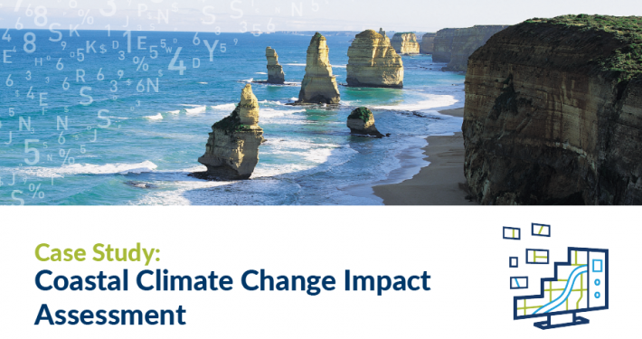
Handling and processing of raster datasets can be done efficiently using Python. Typically, raster data can be simple in presentation, but it contains complex information. A good example of this is modelling climate change information for coastal and inland regions. These types of datasets also have a temporal aspect. Python allows for the automated processing of this data for a variety of scenarios and applications, both over a set limit of time and for a defined region.
 https://spatialvision.com.au/wp-content/uploads/2024/01/Blog-post-tile-7.png
500
900
Samantha Sinclair
https://spatialvision.com.au/wp-content/uploads/2020/04/SV_Logo_Inline.png
Samantha Sinclair2024-01-16 11:21:062024-02-19 09:11:58Differences between ArcPy and PyQGIS
